
Episode 28: Over sixty years digging and we’re still finding new ‘dirt’ on HJ Andrews
-
ID 28.jpg

-


October 29, 2019
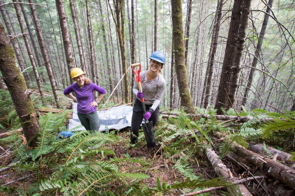
One kilometer. Or roughly ten football fields. That’s the extent of the area over which Karla Jarecke, a Ph.D. candidate in the College of Forestry’s Department of Forest, Ecosystems & Society can feasibly navigate her way through the trail-less HJ Andrews Experimental forest to collect the data she needs in a typical day of field work. Imagining a football field is perhaps not the best way to appreciate this feat, nor envision the complex topography that makes up this coniferous forest on the western flanks of the Cascade mountains, roughly 50 miles East of Eugene. But these characteristics are precisely what have made this forest valuable to scientists since 1948 and continue to make it the ideal place for Karla’s research.
Experimental watersheds like the HJ Andrews forest were established initially to understand how clear-cutting influenced forest drainage and other ecosystem processes such as regrowth of plants and change in nutrients in soils and streams. This was during the time when timber-take was increasing and we still had little understanding of its ecosystem effects. Karla’s work is also forward-thinking, but less on the lines of what will happen to drainage when trees are removed and more focused on understanding the availability of water for trees to use now and in the future. She wants to know what influence topography has on plant water availability in mountainous landscapes.
Back to bushwhacking. The answer to Karla’s research question lies beneath the uneven forest floor. Specifically, in the soil. Soil is the stuff made up of weathered rock, decomposing organic material and lots of life but it is also the medium through which much of the water within a forest drainage moves. Across her study area, Karla has 54 sites where she collects data from sensors that measure soil moisture at two different depths. These steel rods send electrical currents into the ground, which depending on how quickly they travel can tell her how much water is present in the soil. She also keeps track of sensors that measure atmospheric conditions, like temperature and air humidity. This information builds on the incredible sixty-year data set that has been collected on soil moisture within HJ Andrews, but with a new perspective.
Karla explains that there have been long-standing assumptions surrounding elevation gradients and their control on water availability in a forest system. This understanding has led to modeling tools currently used to extrapolate soil moisture across a landscape. But so far, her data show huge variability on surprisingly small scales that cannot be explained by gradient alone. This indicates that there are other controls on the spatial availability of soil moisture in such mountainous terrain.
“We’re finding that model doesn’t work really well in places where soil properties are complicated and topography is variable. And that’s just the first part of my research.”
The next phase of Karla’s work seeks to evaluate tree stress in the forest and determine if there are any connections between this and the variability she is finding in soil moisture across spatial scales. True to the complex nature of the landscape, this work is complicated! But to Karla, it’s important. Growing up in the mid-west, Karla came to know water as “green” and when she moved West, first to fulfill an internship in Colorado and then to pursue her graduate work here in the Pacific Northwest, she was (and still is) amazed by the abundance of clean, clear rivers and streams. And it’s something she doesn’t ever want to take for granted.
To find out more about Karla’s research and her journey from farming in Italy to studying soil, tune in on Sunday, October 27th at 7 PM on KBVR 88.7 FM, live stream the show at http://www.orangemedianetwork.com/kbvr_fm/, or download our podcast on iTunes.